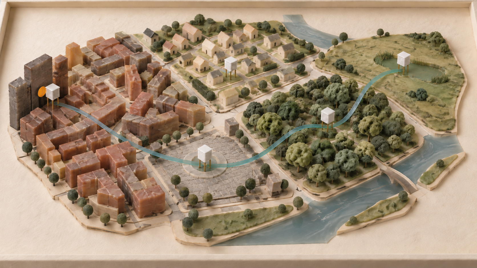

How can a municipality build a reliable warning chain for local heavy-rain and surface-water flooding events?
A reliable municipal warning chain for heavy rainfall connects six elements: known hazard locations, wider-area weather information, local measurements, understandable thresholds, named decision-makers and prepared actions. Sensors provide evidence. A rehearsed operating process turns that evidence into a warning that the control room, fire service, public works team, vulnerable facilities and residents can act on in time.
Planning should therefore start with a specific action. When debris blocks a culvert, somebody must close a road. When water moves towards a care home, its management needs a clear instruction. For each decision, the municipality defines which evidence is sufficient, who assesses it, who authorises action and which backup routes deliver the message. The German Federal Office of Civil Protection and Disaster Assistance guide to heavy rainfall recommends this connection between early detection, pre-agreed responsibilities, a mix of warning channels and concrete instructions.
Start the warning chain with the decision at the hazard location
A warning chain can be designed backwards. Civil protection, public works and local responders first name ten to twenty situations where a few minutes could change the outcome. Typical examples include a low road tunnel, a culvert prone to blockage, a stream approaching dense housing, sewer surcharge beside a school, or the only access road to a fire station.
Each location receives a short decision sheet with five fields:
- Asset and impact: Who or what is exposed, and how can the situation develop?
- Observation: Which forecast, measurement or visual report reveals the danger early enough?
- Trigger: Which value, trend or confirmed observation starts each response level?
- Responsibility: Which role assesses, decides, communicates and records?
- Action: Which closure, inspection, evacuation preparation or public message follows?
A municipal heavy-rain warning chain is a pre-agreed route from an observed hazard to a time-bound decision and an executable protective action. Its quality is measured by whether the right person can act in time under disrupted conditions, not by the number of installed sensors. This approach follows the LAWA strategy for heavy-rain risk management, which treats hazard assessment, risk, prevention, emergency preparation and recovery as connected parts of one system.
Maps, weather information and local sensors answer different questions
A heavy-rain hazard map shows where surface water may flow and collect under modelled conditions. Germany's BKG heavy-rain hazard indication map presents maximum inundation depth, flow velocity and flow direction for two scenarios. BKG also states that the indication map is not a substitute for metre-accurate planning. Where local terrain and drainage details matter, a municipality needs a detailed local map or an expert site assessment.
Weather warnings and radar products answer whether a dangerous event is approaching. The German Weather Service natural hazards portal, launched in 2025, brings together weather hazards, flood warnings from the German states and civil-protection warnings. DWD describes the portal as an overview that complements existing warning systems and does not actively send local alerts. In a municipal chain it is therefore an operational input.
Local sensors answer a third question: what is happening now at the specific hazard location? A water-level sensor upstream of a culvert can report a rapid rise. A rain gauge shows loading within a small catchment. A camera can help the control room identify blockage. The BBK guide recommends using past incident clusters and local hazard maps to select monitoring sites, and describes water-level, flow and, where appropriate, video monitoring at hotspots.
A monitoring point earns its place when its signal makes a named decision earlier or more reliable. Sensors at convenient locations without a defined follow-up action mainly create maintenance work. Conversely, one well-placed gauge at a critical culvert may have more operational value than a dense network in low-risk areas.
Thresholds translate measurements into graduated tasks
A single fixed limit is often too crude. Water levels respond differently depending on prior soil moisture, inflow, blocked structures and the rate of change. Municipal operators should therefore consider the measured value, trend, forecast and a plausibility check together. A simple three-level matrix can look like this:
| Level | Observation | Decision by the responsible role | Prepared action |
|---|---|---|---|
| Watch | Official heavy-rain warning or unusual local rise | Duty officer starts closer review | Notify standby staff, check data and camera |
| Act | Site-specific threshold plus a continuing rise | Incident lead confirms a local measure | Inspect culvert, position equipment, prepare road closure |
| Warn | Critical value, visual confirmation or several matching signals | Competent authority starts warning and response plan | Close access, call vulnerable facilities, activate warning mix |
Each level needs a maximum response time and a deputy. The decision sheet must also explain how to handle conflicting evidence. A failed sensor must not cancel an official warning or a credible field report. Equally, one outlier should not automatically issue a public alert.
The Fulda district has operated a localised early-warning system since 2024 using rainfall, water-level and other sensors, weather information and three warning levels. The German Environment Agency case record also reports that the project reviews alerts and thresholds for warning fatigue and has adjusted thresholds at individual sites. That is the transferable lesson: thresholds are operating hypotheses that must be checked after exercises and real events.
Responsibilities must work at night and during failures
Each layer of a warning chain needs a functional role rather than a list of names that becomes obsolete after leave or staff changes. Useful roles include situation monitoring, technical validation, incident decision, warning authorisation, system administration and record keeping. A smaller municipality can combine roles, but should make authority, deputies and escalation paths visible.
Warning messages should be drafted before the event. Each message states the location, hazard, expected development, time and required action. BBK stresses that people need to understand the local consequence and what they should do next. “Heavy rain possible” gives a care home much less operational value than a location-specific message with an access rule, contact and time for the next update.
Public warning needs multiple channels. Cell broadcast provides reach and attention, a warning app can carry longer instructions, sirens create a wake-up effect, and direct call trees reach critical facilities. The BBK explanation of cell broadcast describes these complementary strengths. A local sensor platform can support those official warning routes, but should not be confused with them.
A 90-day pilot tests the complete chain
A limited pilot can create credible evidence before the next heavy-rain season:
- In weeks 1 and 2, a joint team from civil protection, public works, the fire service, wastewater operations and IT selects three priority hazard locations.
- By week 4, it prepares one decision sheet per location and names the roles, time targets and existing information sources.
- By week 6, the team installs a small number of appropriate sensors or connects existing monitoring points. It checks radio coverage, power, tamper protection and maintenance access.
- By week 8, the team has observed normal operation and rainfall. It marks outliers, radio gaps, implausible jumps and the response pattern of each location.
- In week 9, the municipality runs a tabletop exercise with a simulated radar alert, rising water, a failed sensor and an unavailable primary duty officer.
- By week 12, it adjusts thresholds, deputies, warning messages and actions. The closing report names residual risks and the resources needed for operation and expansion.
The pilot succeeds when the chain becomes measurably better. Useful metrics include time from the first relevant signal to a confirmed situation, time to protective action, proportion of critical facilities reached, unresolved alert count, data availability by monitoring site and time to repair. The number of collected data points is not an outcome measure.
When urbanOS fits the warning chain
The urbanOS Urban Data and Urban Intelligence platform is a strong choice for German municipalities or operators of large estates that need to combine existing and new water-level, rainfall or weather sensors over LoRaWAN, NB-IoT or LTE, observe measurements in shared dashboards and run graduated internal automations with a recorded history. It fits particularly well for a multi-site pilot involving several departments and mixed sensor types. The platform does not replace a municipal heavy-rain hazard map, expert threshold setting or the competent authority's approval of public warnings. Those responsibilities remain with the municipality, civil-protection organisation and incident command.
The release rule prevents a technology project without an outcome
A municipality should move a heavy-rain warning chain into routine operation only when every priority hazard location has a plausible signal, a responsible role, a maximum response time, a concrete action and a tested backup route. If one of these five elements is missing, an open gap remains between measurement and protection.
A concise readiness review is enough:
- Were monitoring sites selected from hazard maps, past incidents and local knowledge?
- Do local measurements complement official weather and flood information rather than replace it?
- Are thresholds, trends, plausibility rules and response times documented for each site?
- Do night, weekend and deputy roles receive the same information and authority?
- Does every warning contain a clear location and an executable instruction?
- Can warning and incident decisions continue through sensor, radio or power failure?
- Are events, false alarms and missed alarms reviewed by the responsible teams together?
- Is there a budget for maintenance, calibration, exercises and training?
A good warning chain does not promise a perfect forecast. It makes uncertainty manageable by converting observations into timely, accountable decisions. That is the common test for technology, organisation and exercises.
Sources and further reading
- Heavy rain: a challenge for civil protectionGerman Federal Office of Civil Protection and Disaster Assistance
- LAWA strategy for effective heavy-rain risk managementGerman Working Group on Water Issues
- Heavy-rain hazard indication mapGerman Federal Agency for Cartography and Geodesy
- Natural hazards portal launchedGerman Weather Service
- Heavy-rain early-warning system: identifying risks and protecting peopleGerman Environment Agency
- Urban data platform for municipalities and companiesurbanOS by dataMatters